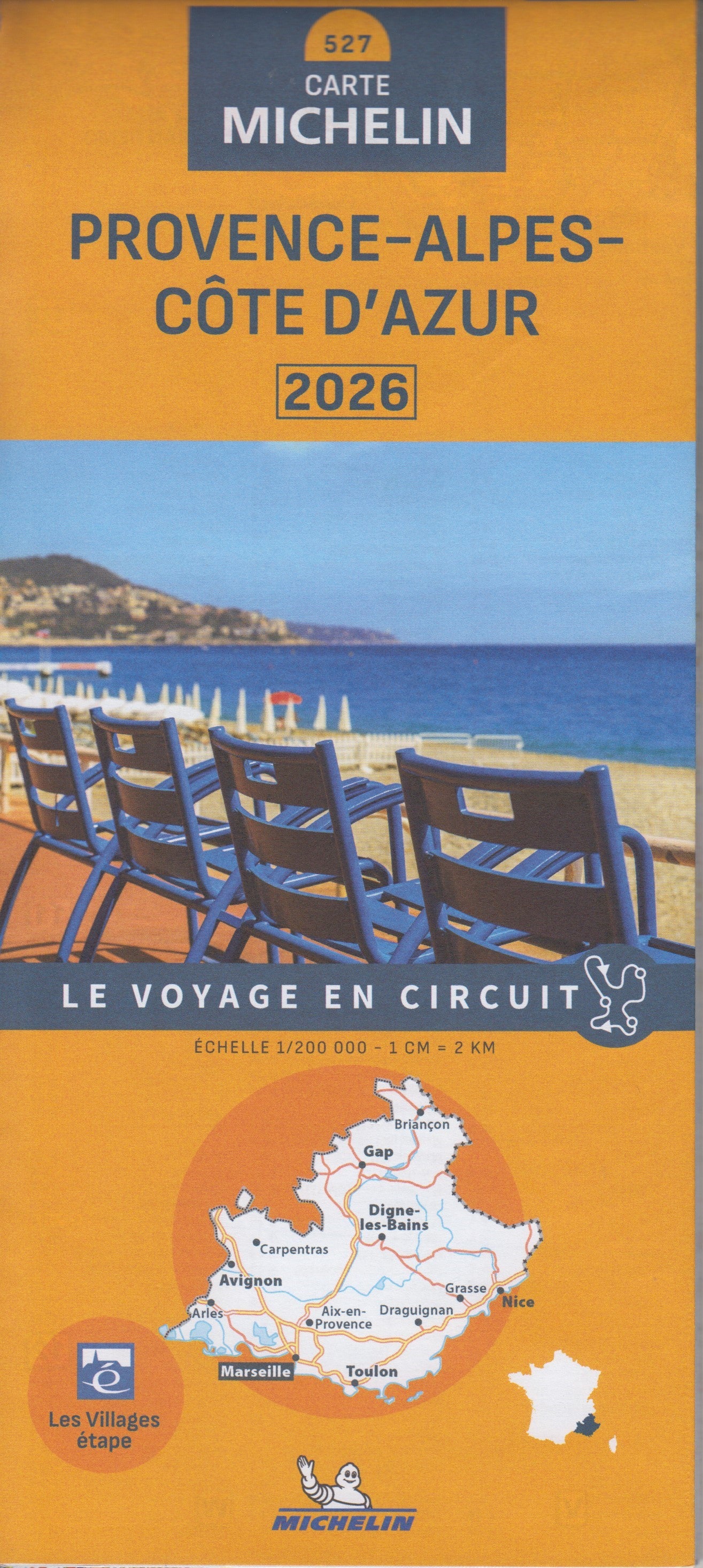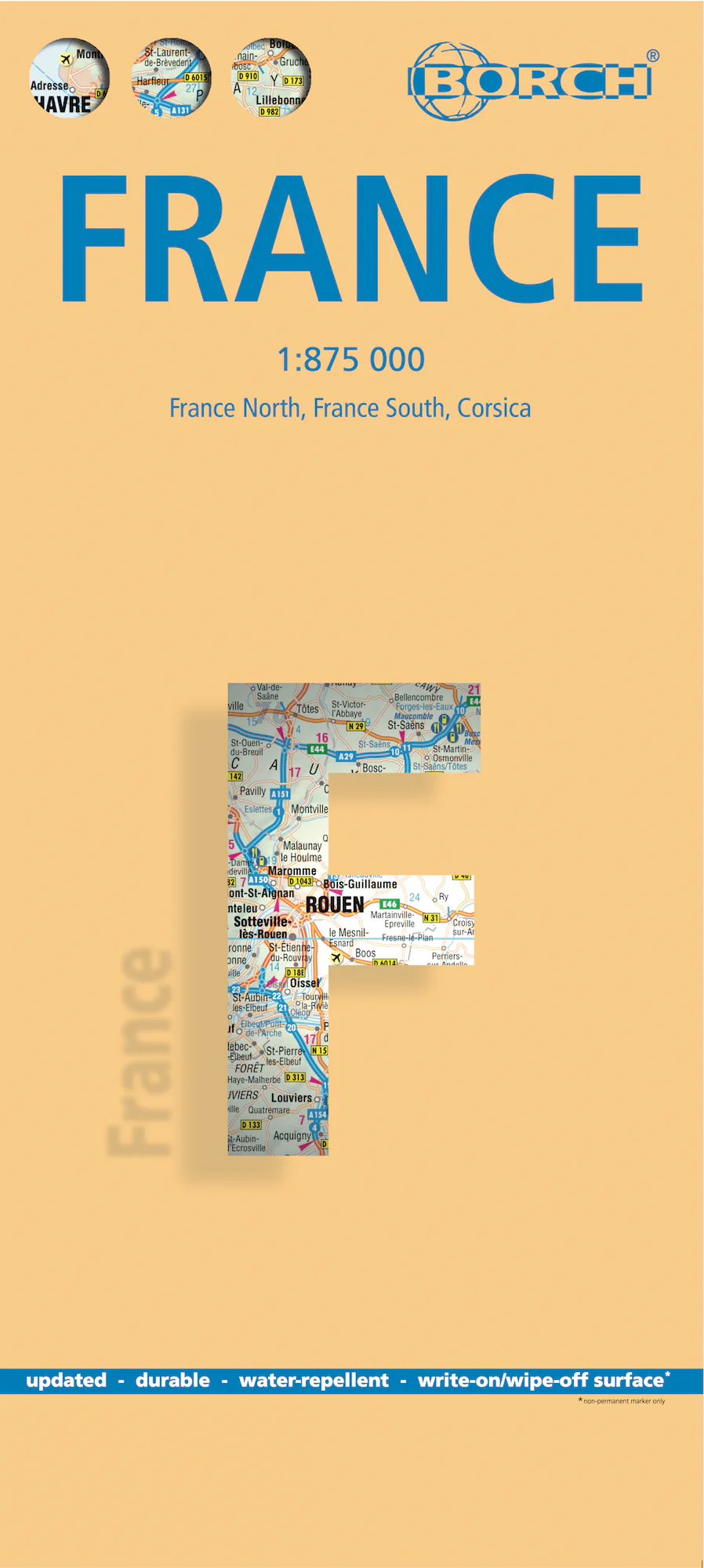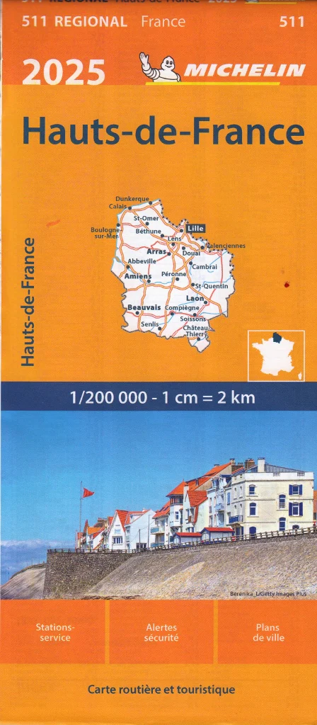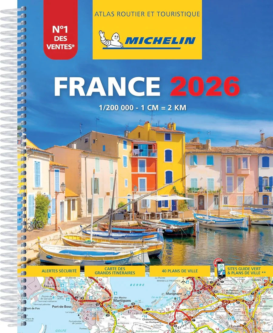
France Michelin Road Atlas
The most accurate and up-to-date road atlas for exploring France by car in 2026.
Whether you’re navigating the winding lanes of Provence, heading to the vineyards of Bordeaux, or exploring the rugged coastline of Brittany, the Michelin France Road Atlas 2026 is the definitive travel companion for drivers, road-trippers, and travel planners. Trusted by travellers across Europe for its clarity, reliability, and rich travel detail, this atlas brings together everything you need to explore France confidently.
🗺️ Updated, Accurate, and Easy to Use
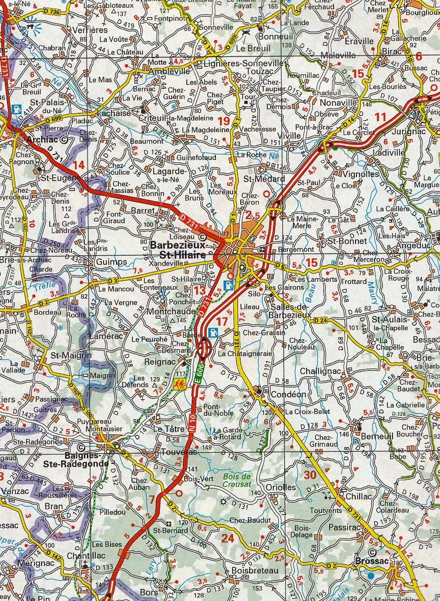
The 2026 edition includes fully updated cartography, reflecting the latest changes in road networks, toll routes, urban developments, and speed limits. Presented in Michelin’s iconic clear style, the atlas offers scales detailed enough for rural travel while still providing comprehensive national coverage.
✅ Key Features
-
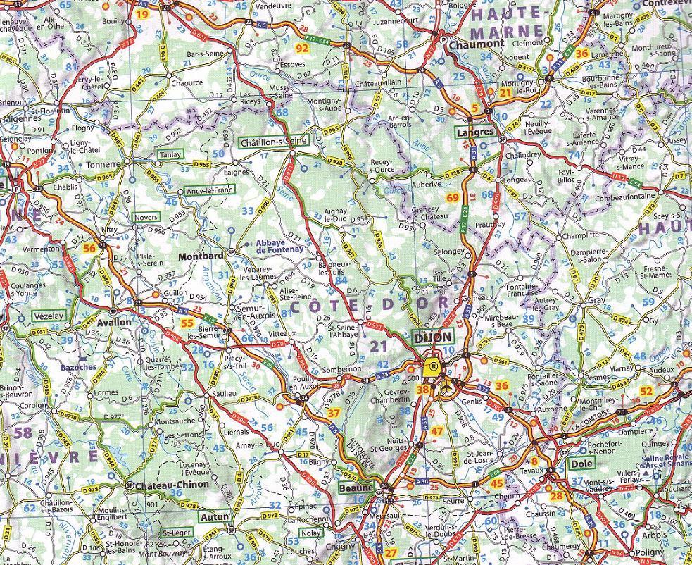
Scale: 1:200,000 – a perfect balance of detail and overview
-
Spiral-bound for ease of use – lies flat on dashboards, desks, or planning tables
-
Comprehensive road detail: motorways, toll roads, scenic routes, rest areas, fuel stations, and restricted zones
-
Full index of towns and postcodes for quick referencing
-
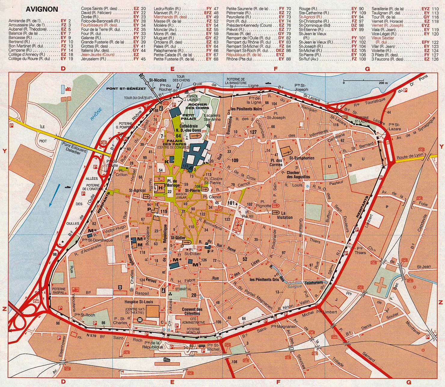
City and town plans: Includes Paris plus over 50 regional city insets
-
Tourist icons mark Michelin-recommended attractions, scenic routes, UNESCO World Heritage sites, parks, and more
-
Driving distances and time estimates between major destinations
-
Toll road information and motorway services clearly marked
-
Speed limit reminders and road safety tips for French road travel
-
Laminated cover for protection and long-lasting use
📐 Product Specifications
| Feature | Detail |
|---|---|
| Publisher | Michelin Maps – Michelin Travel Partner |
| Edition | 2026 |
| Binding | Spiral-bound, softcover |
| Page Count | Approx. 300 pages |
| Scale | 1:200,000 (1 cm = 2 km) |
| Language | Multilingual (includes English and French) |
| Size (Closed) | Approx. 22 cm x 29 cm |
| Weight | Approx. 1.3 kg |
🎯 Who It’s For
-
Caravanners and road-trippers travelling throughout France
-
Self-drive holidaymakers and international visitors
-
Tour operators, delivery drivers, and travel agents
-
Students and educators focused on French geography
-
Anyone planning scenic routes or avoiding tolls
It’s an ideal alternative or supplement to GPS, especially in rural regions, mountainous areas, or regions with spotty reception.
🚚 Shipping Information
-
Ships securely in a protective sleeve or box
-
Available for domestic and international delivery
-
Usually dispatches within 1–2 business days
-
Suitable for gift wrapping upon request
🔍 Why Choose the Michelin France Road Atlas 2025?
-
✅ Trusted by travellers for generations
-
✅ Produced by Europe’s most respected cartographers
-
✅ Updated annually with the most current route and road data
-
✅ More than just a map—this is a complete travel planning guide
-
✅ Designed for comfort, clarity, and functionality
Whether you're crossing the Massif Central, heading for the beaches of the French Riviera, or tracing the châteaux of the Loire Valley, the Michelin France Road Atlas 2025 helps you get there smoothly, safely, and with confidence.
Original: $39.82
-65%$39.82
$13.94Product Information
Product Information
Shipping & Returns
Shipping & Returns
Description
The most accurate and up-to-date road atlas for exploring France by car in 2026.
Whether you’re navigating the winding lanes of Provence, heading to the vineyards of Bordeaux, or exploring the rugged coastline of Brittany, the Michelin France Road Atlas 2026 is the definitive travel companion for drivers, road-trippers, and travel planners. Trusted by travellers across Europe for its clarity, reliability, and rich travel detail, this atlas brings together everything you need to explore France confidently.
🗺️ Updated, Accurate, and Easy to Use
The 2026 edition includes fully updated cartography, reflecting the latest changes in road networks, toll routes, urban developments, and speed limits. Presented in Michelin’s iconic clear style, the atlas offers scales detailed enough for rural travel while still providing comprehensive national coverage.
✅ Key Features
-
Scale: 1:200,000 – a perfect balance of detail and overview
-
Spiral-bound for ease of use – lies flat on dashboards, desks, or planning tables
-
Comprehensive road detail: motorways, toll roads, scenic routes, rest areas, fuel stations, and restricted zones
-
Full index of towns and postcodes for quick referencing
-
City and town plans: Includes Paris plus over 50 regional city insets
-
Tourist icons mark Michelin-recommended attractions, scenic routes, UNESCO World Heritage sites, parks, and more
-
Driving distances and time estimates between major destinations
-
Toll road information and motorway services clearly marked
-
Speed limit reminders and road safety tips for French road travel
-
Laminated cover for protection and long-lasting use
📐 Product Specifications
| Feature | Detail |
|---|---|
| Publisher | Michelin Maps – Michelin Travel Partner |
| Edition | 2026 |
| Binding | Spiral-bound, softcover |
| Page Count | Approx. 300 pages |
| Scale | 1:200,000 (1 cm = 2 km) |
| Language | Multilingual (includes English and French) |
| Size (Closed) | Approx. 22 cm x 29 cm |
| Weight | Approx. 1.3 kg |
🎯 Who It’s For
-
Caravanners and road-trippers travelling throughout France
-
Self-drive holidaymakers and international visitors
-
Tour operators, delivery drivers, and travel agents
-
Students and educators focused on French geography
-
Anyone planning scenic routes or avoiding tolls
It’s an ideal alternative or supplement to GPS, especially in rural regions, mountainous areas, or regions with spotty reception.
🚚 Shipping Information
-
Ships securely in a protective sleeve or box
-
Available for domestic and international delivery
-
Usually dispatches within 1–2 business days
-
Suitable for gift wrapping upon request
🔍 Why Choose the Michelin France Road Atlas 2025?
-
✅ Trusted by travellers for generations
-
✅ Produced by Europe’s most respected cartographers
-
✅ Updated annually with the most current route and road data
-
✅ More than just a map—this is a complete travel planning guide
-
✅ Designed for comfort, clarity, and functionality
Whether you're crossing the Massif Central, heading for the beaches of the French Riviera, or tracing the châteaux of the Loire Valley, the Michelin France Road Atlas 2025 helps you get there smoothly, safely, and with confidence.