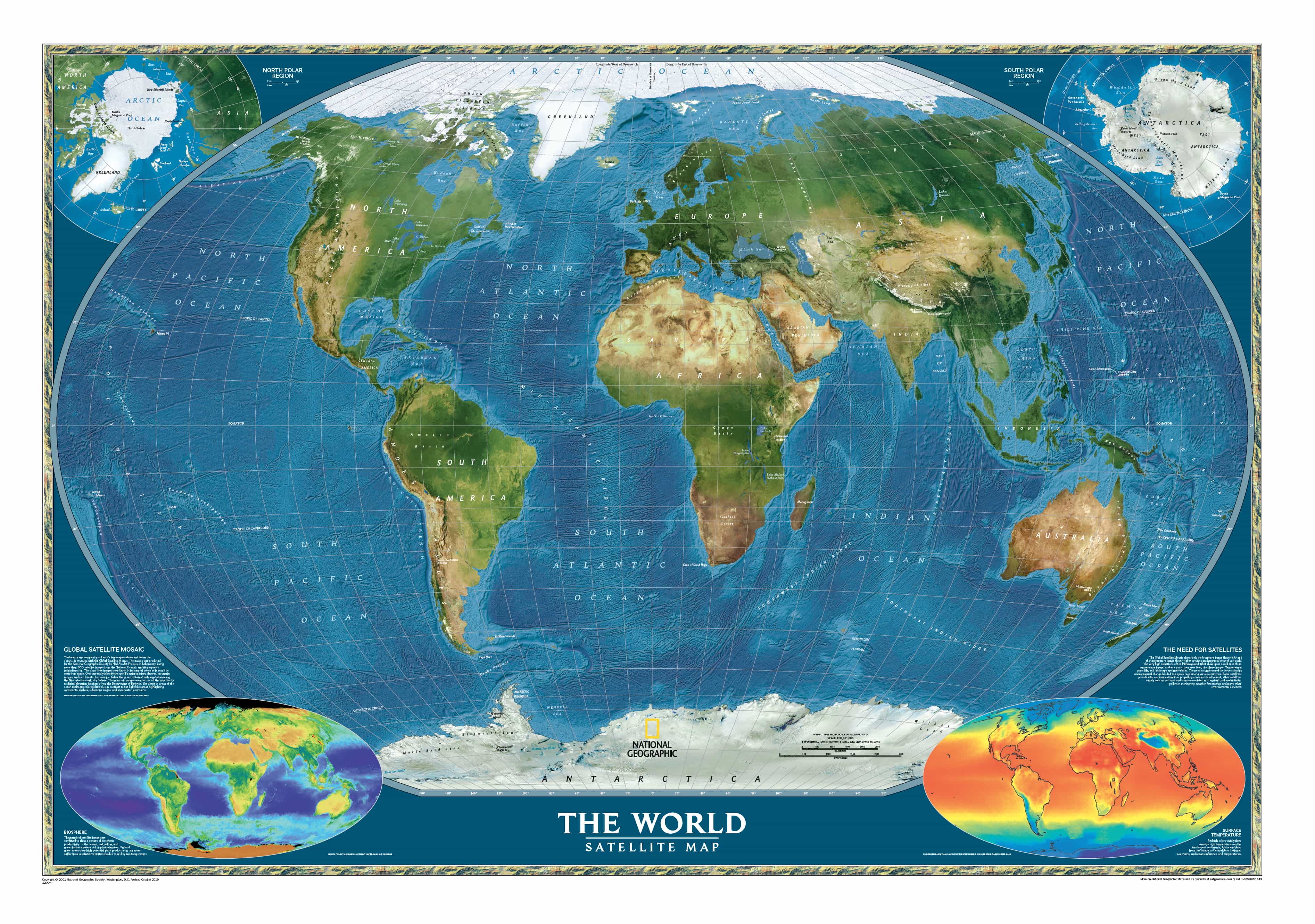
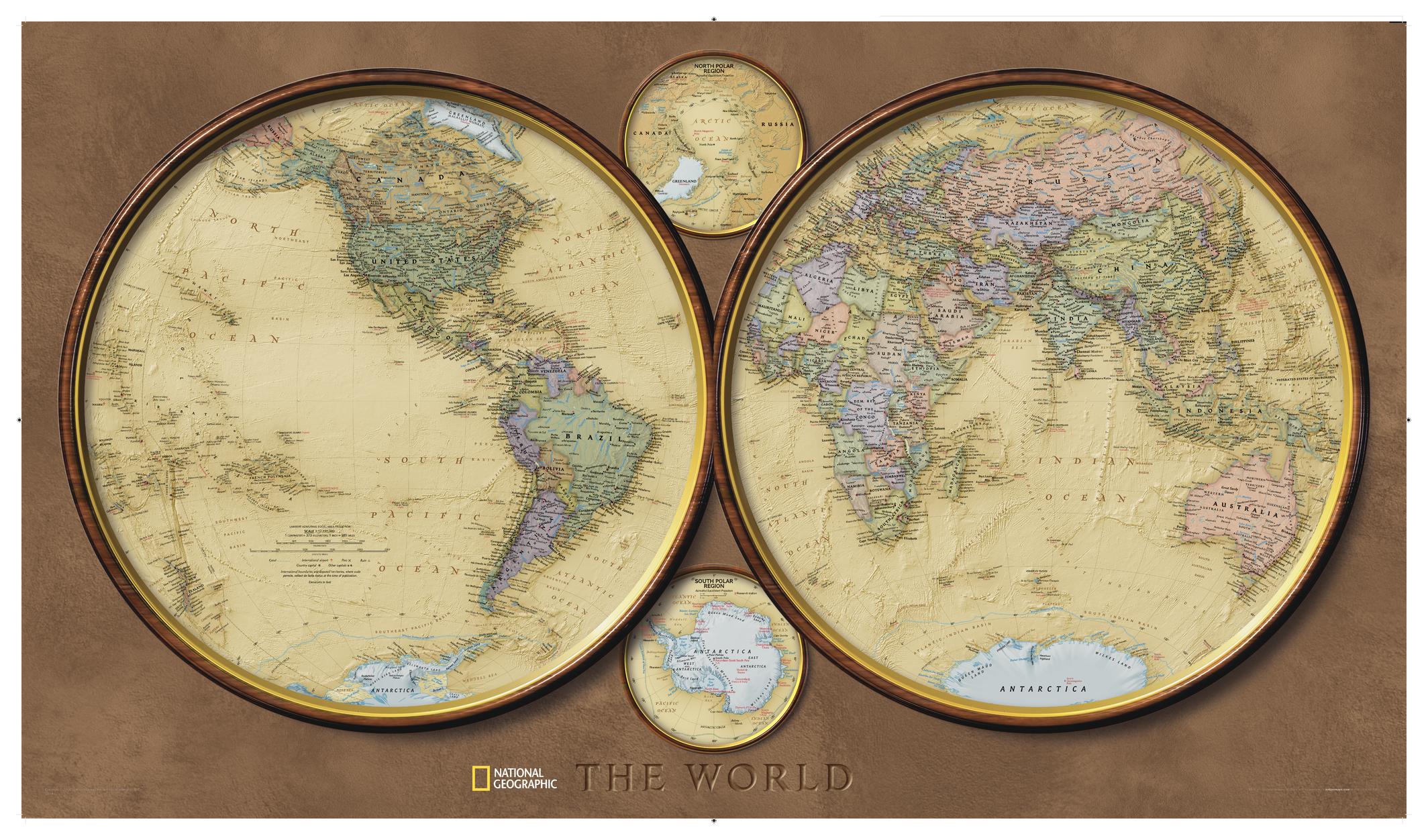
World Physical National Geographic 1162 x 775mm Wall Map
🌍 World Physical – National Geographic Wall Map
Dimensions: 1162 mm (W) × 775 mm (H) | Scale: 1:35,842,000
Projection: Winkel Tripel | Finishes: Paper, Laminated, Canvas | Optional: Timber Hang Rails
Made in Australia
🗺 Discover Earth’s Natural Beauty in Unmatched Detail
Few wall maps capture the planet’s raw beauty and geological complexity as masterfully as the National Geographic World Physical Map. Created to National Geographic’s rigorous editorial standards, this map blends scientific precision with artistic elegance, presenting the Earth’s land and ocean forms in vibrant, natural colour.
Using hand-painted shaded relief to convey topography, the map’s continents rise and fall before your eyes—mountain ranges soar, valleys dip, and deserts stretch out in warm golden tones. The bathymetric detail is equally breathtaking, with ocean ridges, trenches, and continental shelves rendered in striking shades of blue.
This is physical geography as it’s meant to be seen—clear, accurate, and irresistibly engaging.
📌 Why This Map Stands Out
Scientific Accuracy You Can Trust
Produced with the same cartographic integrity as the National Geographic Atlas of the World, this map reflects decades of research and authoritative geographic data.
Balanced Winkel Tripel Projection
Favoured by National Geographic for its minimal distortion, the Winkel Tripel projection ensures landmasses are shown in proper proportion. Unlike many maps, Greenland is accurately scaled—similar in size to Argentina, not the entirety of South America.
Rich Physical Relief
-
Continental Terrain – Mountain ranges, deserts, plains, and river systems in hand-painted relief.
-
Ocean Floor Detail – Bathymetric shading reveals ridges, trenches, and undersea features.
Informative Insets for Deeper Learning
-
The Earth’s Crust – Tectonic plates, fault lines, and geological structure.
-
Climatic Zones – Global climate patterns and their influence on ecosystems.
🖼 Premium Finish Options for Every Space
📄 160gsm Archival Paper
-
Smooth matte finish for elegant presentation.
-
Perfect for framing under glass or mounting in a study, library, or gallery wall.
-
Crisp, museum-quality printing with vivid colour fidelity.
💧 Encapsulated Gloss Laminate (80 Micron)
-
Sealed on both sides for maximum durability.
-
Waterproof, tear-resistant, and UV-protected.
-
Can be written on with whiteboard markers—ideal for education, travel planning, or interactive use.
🎨 395gsm HP Professional Matte Canvas
-
Luxurious, textured surface for a gallery-quality look.
-
Printed with archival pigment inks for fade resistance.
-
Waterproof and exceptionally durable—crafted to last for decades.
-
Perfect for executive offices, heritage homes, and premium interior styling.
🪵 Optional Timber Hang Rails – Ready-to-Hang Presentation
For laminated and canvas editions, upgrade to natural timber hang rails for a professional, display-ready finish:
-
Smooth lacquered wood in a classic natural tone.
-
Top and bottom rails add weight for a perfectly flat hang.
-
Discreet cord for easy single-hook mounting—no need for frames or complicated hardware.
Please allow up to 10 working days for hang-railed maps, as each is individually finished by our professional framer.
📏 Specifications
| Feature | Details |
|---|---|
| Publisher | National Geographic Society |
| Projection | Winkel Tripel |
| Map Style | Physical (Natural Relief) |
| Inset Maps | Earth’s Crust, Climatic Zones |
| Finishes | Paper, Laminated, Canvas |
| Optional | Timber Hang Rails |
| Scale | 1:35,842,000 |
| Dimensions | 1162 mm (W) × 775 mm (H) |
| Made In | Australia |
🌟 Ideal For:
✔️ Teachers & Educators – Bring physical geography lessons to life.
✔️ Home Offices & Studies – A statement piece with both beauty and intelligence.
✔️ Travel Enthusiasts – Trace your journeys and explore the planet’s natural features.
✔️ Corporate & Boardroom Spaces – Sophisticated décor with a global outlook.
✔️ Gift Giving – Perfect for geography lovers, students, and professionals.
💡 Why Choose the National Geographic World Physical Map?
-
Authority – Backed by 135+ years of cartographic excellence.
-
Accuracy – Projection and detail that minimise distortion.
-
Durability – Materials designed for decades of enjoyment.
-
Versatility – Multiple sizes and finishes for any setting.
✨ A Map That’s More Than Decoration
The National Geographic World Physical Map is more than a wall feature—it’s an invitation to explore, understand, and appreciate the Earth’s extraordinary natural patterns. Whether it’s displayed in a classroom, home library, or executive office, it brings the entire planet’s story into view.
📦 Order today and let the natural wonders of our world become part of your everyday surroundings.
Original: $50.69
-65%$50.69
$17.74Product Information
Product Information
Shipping & Returns
Shipping & Returns
Description
🌍 World Physical – National Geographic Wall Map
Dimensions: 1162 mm (W) × 775 mm (H) | Scale: 1:35,842,000
Projection: Winkel Tripel | Finishes: Paper, Laminated, Canvas | Optional: Timber Hang Rails
Made in Australia
🗺 Discover Earth’s Natural Beauty in Unmatched Detail
Few wall maps capture the planet’s raw beauty and geological complexity as masterfully as the National Geographic World Physical Map. Created to National Geographic’s rigorous editorial standards, this map blends scientific precision with artistic elegance, presenting the Earth’s land and ocean forms in vibrant, natural colour.
Using hand-painted shaded relief to convey topography, the map’s continents rise and fall before your eyes—mountain ranges soar, valleys dip, and deserts stretch out in warm golden tones. The bathymetric detail is equally breathtaking, with ocean ridges, trenches, and continental shelves rendered in striking shades of blue.
This is physical geography as it’s meant to be seen—clear, accurate, and irresistibly engaging.
📌 Why This Map Stands Out
Scientific Accuracy You Can Trust
Produced with the same cartographic integrity as the National Geographic Atlas of the World, this map reflects decades of research and authoritative geographic data.
Balanced Winkel Tripel Projection
Favoured by National Geographic for its minimal distortion, the Winkel Tripel projection ensures landmasses are shown in proper proportion. Unlike many maps, Greenland is accurately scaled—similar in size to Argentina, not the entirety of South America.
Rich Physical Relief
-
Continental Terrain – Mountain ranges, deserts, plains, and river systems in hand-painted relief.
-
Ocean Floor Detail – Bathymetric shading reveals ridges, trenches, and undersea features.
Informative Insets for Deeper Learning
-
The Earth’s Crust – Tectonic plates, fault lines, and geological structure.
-
Climatic Zones – Global climate patterns and their influence on ecosystems.
🖼 Premium Finish Options for Every Space
📄 160gsm Archival Paper
-
Smooth matte finish for elegant presentation.
-
Perfect for framing under glass or mounting in a study, library, or gallery wall.
-
Crisp, museum-quality printing with vivid colour fidelity.
💧 Encapsulated Gloss Laminate (80 Micron)
-
Sealed on both sides for maximum durability.
-
Waterproof, tear-resistant, and UV-protected.
-
Can be written on with whiteboard markers—ideal for education, travel planning, or interactive use.
🎨 395gsm HP Professional Matte Canvas
-
Luxurious, textured surface for a gallery-quality look.
-
Printed with archival pigment inks for fade resistance.
-
Waterproof and exceptionally durable—crafted to last for decades.
-
Perfect for executive offices, heritage homes, and premium interior styling.
🪵 Optional Timber Hang Rails – Ready-to-Hang Presentation
For laminated and canvas editions, upgrade to natural timber hang rails for a professional, display-ready finish:
-
Smooth lacquered wood in a classic natural tone.
-
Top and bottom rails add weight for a perfectly flat hang.
-
Discreet cord for easy single-hook mounting—no need for frames or complicated hardware.
Please allow up to 10 working days for hang-railed maps, as each is individually finished by our professional framer.
📏 Specifications
| Feature | Details |
|---|---|
| Publisher | National Geographic Society |
| Projection | Winkel Tripel |
| Map Style | Physical (Natural Relief) |
| Inset Maps | Earth’s Crust, Climatic Zones |
| Finishes | Paper, Laminated, Canvas |
| Optional | Timber Hang Rails |
| Scale | 1:35,842,000 |
| Dimensions | 1162 mm (W) × 775 mm (H) |
| Made In | Australia |
🌟 Ideal For:
✔️ Teachers & Educators – Bring physical geography lessons to life.
✔️ Home Offices & Studies – A statement piece with both beauty and intelligence.
✔️ Travel Enthusiasts – Trace your journeys and explore the planet’s natural features.
✔️ Corporate & Boardroom Spaces – Sophisticated décor with a global outlook.
✔️ Gift Giving – Perfect for geography lovers, students, and professionals.
💡 Why Choose the National Geographic World Physical Map?
-
Authority – Backed by 135+ years of cartographic excellence.
-
Accuracy – Projection and detail that minimise distortion.
-
Durability – Materials designed for decades of enjoyment.
-
Versatility – Multiple sizes and finishes for any setting.
✨ A Map That’s More Than Decoration
The National Geographic World Physical Map is more than a wall feature—it’s an invitation to explore, understand, and appreciate the Earth’s extraordinary natural patterns. Whether it’s displayed in a classroom, home library, or executive office, it brings the entire planet’s story into view.
📦 Order today and let the natural wonders of our world become part of your everyday surroundings.