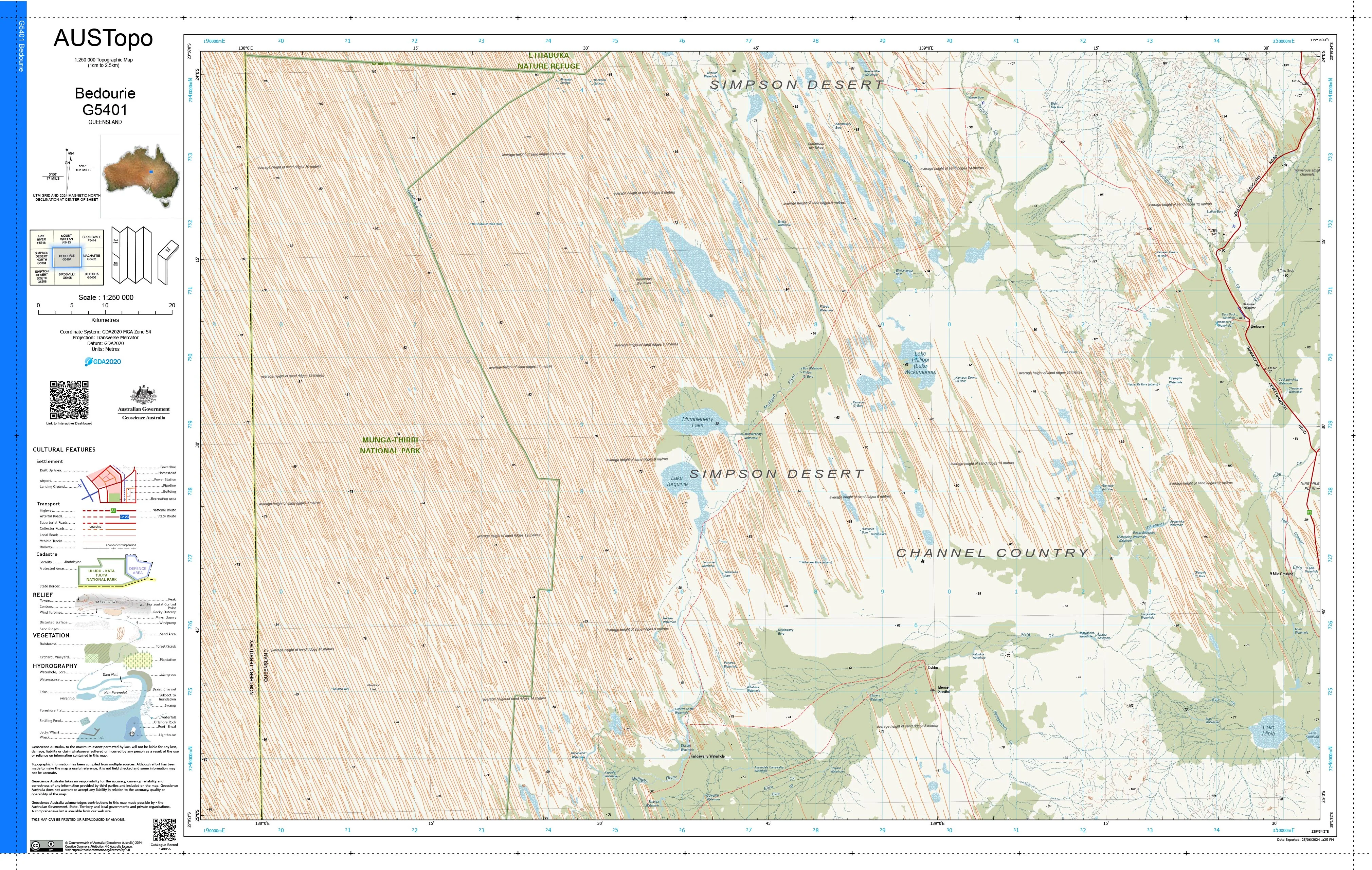
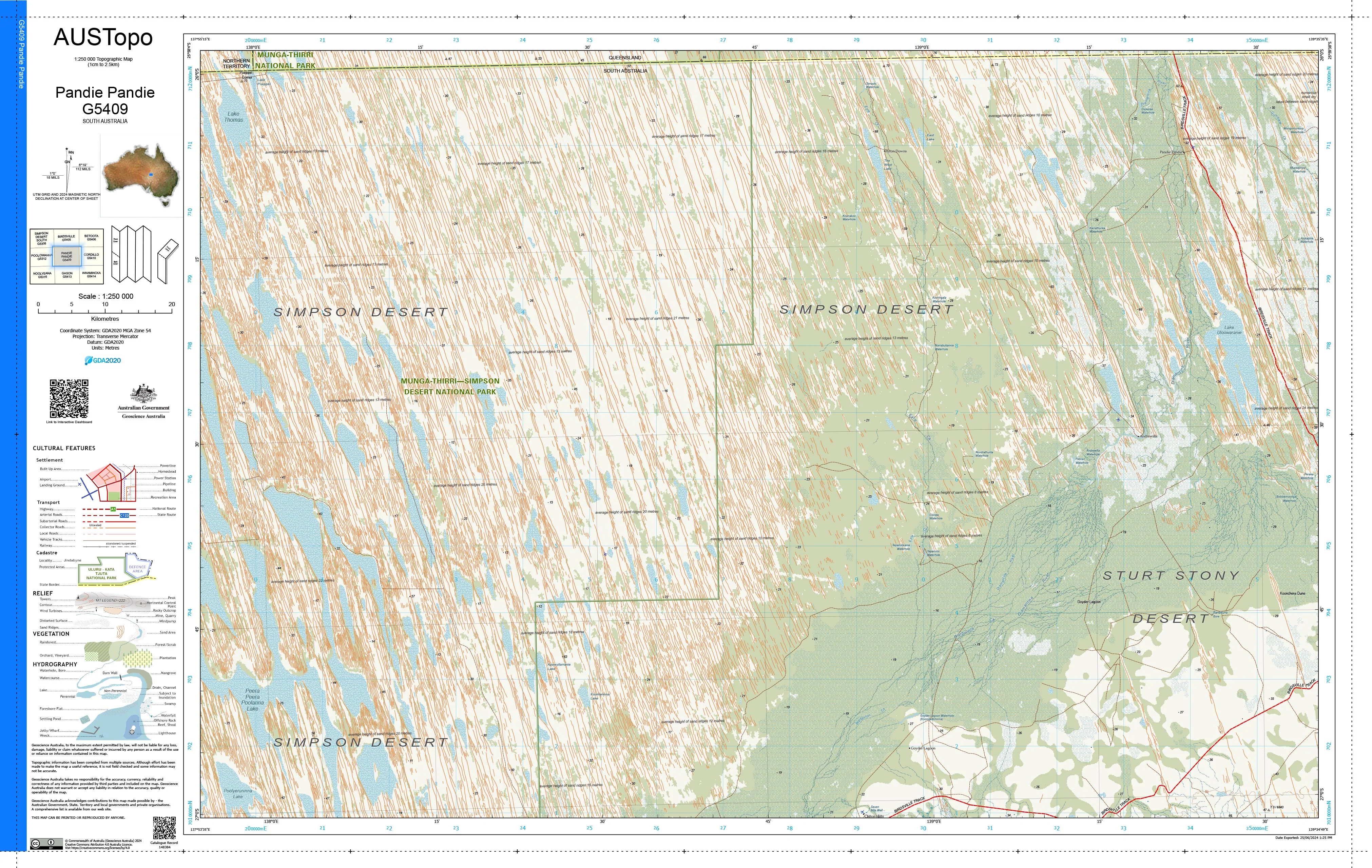
Mason H5206 AUSTopo 1:250,000 Map
Mason H5206 — AUSTopo 1:250,000 Topographic Map (2025)
Remote limestone country, desert tracks, and the eastern Nullarbor—mapped with authority and continental scale
Covering Mason and the eastern reaches of the Nullarbor Plain, this AUSTopo 1:250,000 sheet delivers a clear, authoritative regional overview of classic arid country shaped by limestone plains, claypans, and long-distance access routes. From historic pastoral tracks to subtle drainage lines and sparse infrastructure, it provides essential big-picture context for logistics, land management, and serious outback travel.
At 1:250,000 scale (1 cm = 2.5 km), this is the largest scale at which published topographic maps cover the entire Australian continent—ideal for regional planning, emergency coordination, environmental management, and professional field use.
🧭 Why this map stands out
-
Updated mapping (2025) — aligned to modern Australian datums for confident, current use
-
True plain-scale perspective — water points, drainage features, and access routes shown in one coherent view
-
Professional-grade cartography — relied on by emergency services, rangers, and land managers
-
Dual coordinate systems — seamless transition between office planning and field navigation
-
Printed in Australia — precision output, locally finished and quality-checked
🗺️ What you’ll see
-
Contours and spot elevations across low-relief limestone plains
-
Claypans, soaks, and arid hydrology
-
Roads, station tracks, airstrips, and place names
-
Vegetation patterns and administrative / land-use boundaries
-
Clear grid overlays for accurate positioning and regional planning
📐 Map details at a glance
-
Scale: 1:250,000
-
Series: AUSTopo — Australian Digital Topographic Map Series
-
Coverage: Mason H5206
-
Map currency: 2025
-
Coordinates: Geographical & MGA
-
Datum: GDA2020, AHD
-
Projection: Universal Transverse Mercator (UTM)
-
Sheet size: 800 mm (W) × 500 mm (H)
🎨 Field-ready print options
All finishes are printed in Australia using high-resolution colour for crisp linework and dependable legibility.
-
📄 Paper (standard) — ideal for planning tables, offices, classrooms, or framed Nullarbor reference.
-
💧 DuPont™ Tyvek® (waterproof & tear-proof) — foldable, lightweight, and exceptionally durable for wind-exposed and dusty outback travel.
-
🔒 Laminated (write-on / wipe-off) — true encapsulation; annotate routes, water points, or logistics zones with whiteboard markers or apply map dots, then wipe clean.
🎯 Who it’s for
-
Emergency services & remote-area coordinators
-
Environmental & land-use managers
-
Engineers and logistics planners
-
Educators, students & researchers
-
Nullarbor and eastern SA outback travellers
🇦🇺 Our commitment
Every AUSTopo map we supply is printed and finished in Australia, colour-managed for accuracy, hand-checked, and packed with care—so it arrives ready for real-world use.
Plan, brief, and traverse the Mason region with confidence. Choose your finish and add this essential 2025 AUSTopo map to your kit today.
Original: $14.46
-65%$14.46
$5.06Product Information
Product Information
Shipping & Returns
Shipping & Returns
Description
Mason H5206 — AUSTopo 1:250,000 Topographic Map (2025)
Remote limestone country, desert tracks, and the eastern Nullarbor—mapped with authority and continental scale
Covering Mason and the eastern reaches of the Nullarbor Plain, this AUSTopo 1:250,000 sheet delivers a clear, authoritative regional overview of classic arid country shaped by limestone plains, claypans, and long-distance access routes. From historic pastoral tracks to subtle drainage lines and sparse infrastructure, it provides essential big-picture context for logistics, land management, and serious outback travel.
At 1:250,000 scale (1 cm = 2.5 km), this is the largest scale at which published topographic maps cover the entire Australian continent—ideal for regional planning, emergency coordination, environmental management, and professional field use.
🧭 Why this map stands out
-
Updated mapping (2025) — aligned to modern Australian datums for confident, current use
-
True plain-scale perspective — water points, drainage features, and access routes shown in one coherent view
-
Professional-grade cartography — relied on by emergency services, rangers, and land managers
-
Dual coordinate systems — seamless transition between office planning and field navigation
-
Printed in Australia — precision output, locally finished and quality-checked
🗺️ What you’ll see
-
Contours and spot elevations across low-relief limestone plains
-
Claypans, soaks, and arid hydrology
-
Roads, station tracks, airstrips, and place names
-
Vegetation patterns and administrative / land-use boundaries
-
Clear grid overlays for accurate positioning and regional planning
📐 Map details at a glance
-
Scale: 1:250,000
-
Series: AUSTopo — Australian Digital Topographic Map Series
-
Coverage: Mason H5206
-
Map currency: 2025
-
Coordinates: Geographical & MGA
-
Datum: GDA2020, AHD
-
Projection: Universal Transverse Mercator (UTM)
-
Sheet size: 800 mm (W) × 500 mm (H)
🎨 Field-ready print options
All finishes are printed in Australia using high-resolution colour for crisp linework and dependable legibility.
-
📄 Paper (standard) — ideal for planning tables, offices, classrooms, or framed Nullarbor reference.
-
💧 DuPont™ Tyvek® (waterproof & tear-proof) — foldable, lightweight, and exceptionally durable for wind-exposed and dusty outback travel.
-
🔒 Laminated (write-on / wipe-off) — true encapsulation; annotate routes, water points, or logistics zones with whiteboard markers or apply map dots, then wipe clean.
🎯 Who it’s for
-
Emergency services & remote-area coordinators
-
Environmental & land-use managers
-
Engineers and logistics planners
-
Educators, students & researchers
-
Nullarbor and eastern SA outback travellers
🇦🇺 Our commitment
Every AUSTopo map we supply is printed and finished in Australia, colour-managed for accuracy, hand-checked, and packed with care—so it arrives ready for real-world use.
Plan, brief, and traverse the Mason region with confidence. Choose your finish and add this essential 2025 AUSTopo map to your kit today.