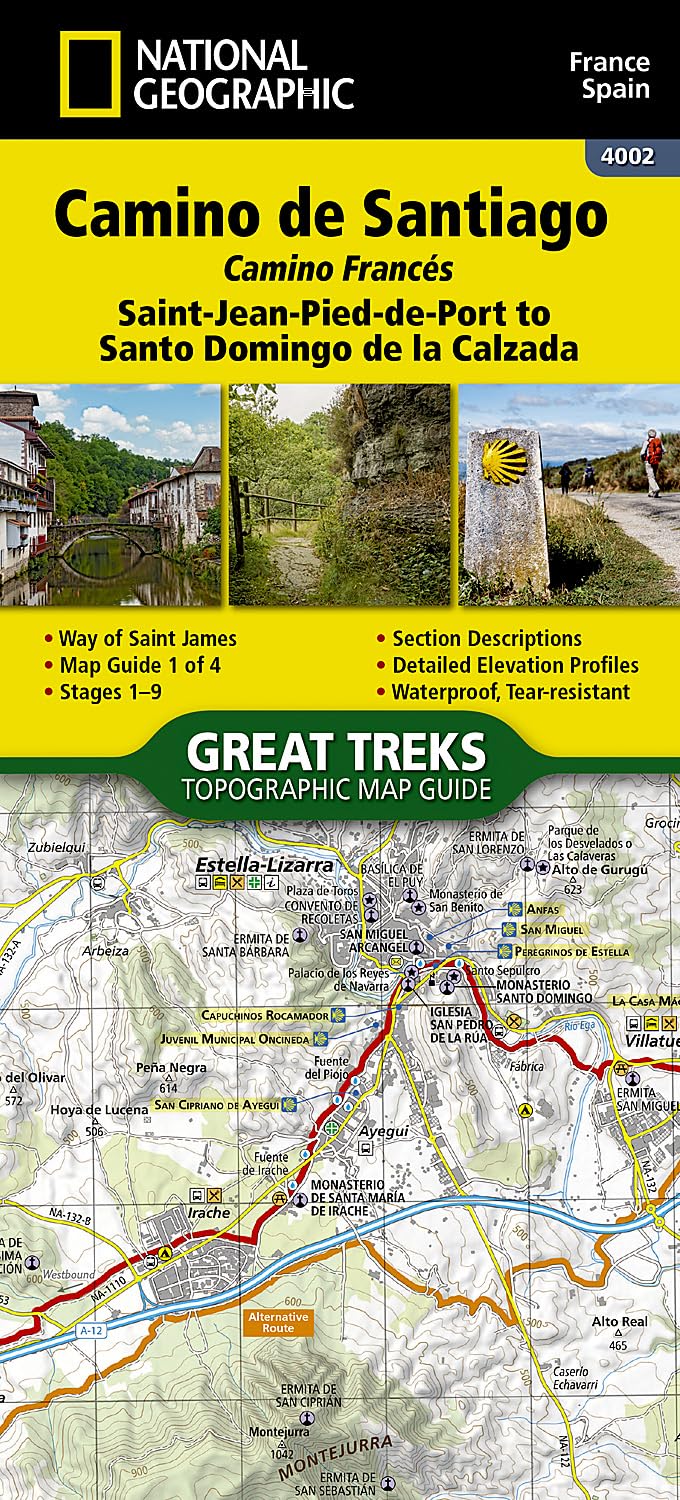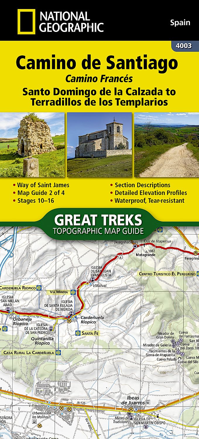


Camino de Santiago NGS Santo Domingo de la Calzada to Terradillos de Los Templario Book No 2
🚶 Camino de Santiago – Santo Domingo de la Calzada to Terradillos de los Templarios
National Geographic Topographic Map Guide – No. 2
Waterproof | Tear-Resistant | Detailed Trail Profiles
NEW PRODUCT – Please allow 10 days for delivery
Continue your pilgrimage along one of the world’s most celebrated walking routes with this National Geographic Topographic Map Guide for the central-east section of the Camino Francés. Covering Santo Domingo de la Calzada to Terradillos de los Templarios, this guidebook maps Sections 10–16 of the trail, including the historic city of Burgos—a jewel of Gothic architecture and a UNESCO World Heritage site.
🗺️ About the Route
The Camino de Santiago—or El Camino, “The Way”—has been inspiring pilgrims since the 9th century, guiding them to Santiago de Compostela to honour Saint James. Today, it’s as much a spiritual and personal journey as a religious one, drawing people from every walk of life.
This stage of the Camino Francés takes you through Castile and León, across rolling plains, ancient Roman roads, and into towns where time seems to stand still. The route blends breathtaking scenery with a living history—churches, monasteries, and medieval architecture that have welcomed travellers for centuries.
📖 What’s Inside
-
Sections 10–16 of the Camino Francés – Fully mapped and described
-
Historic Highlights – Including Burgos and key cultural landmarks
-
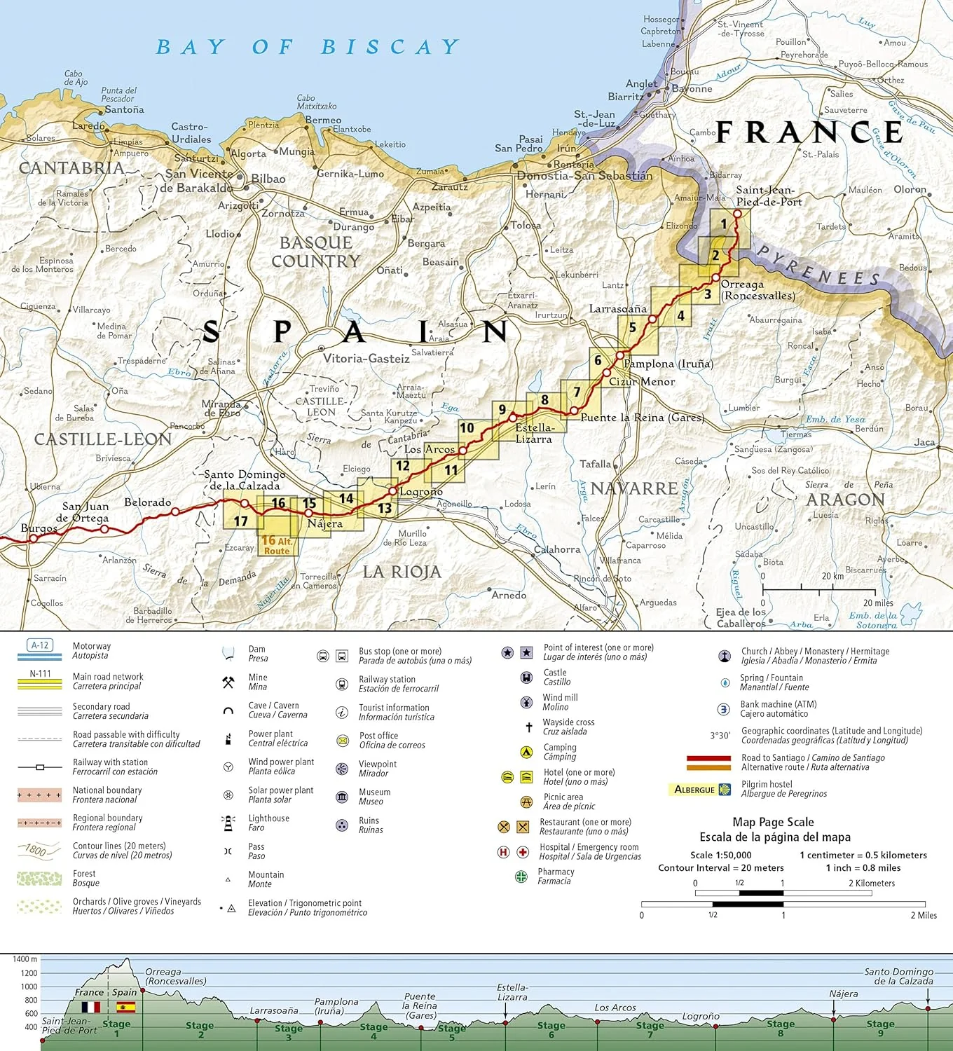
Trail Profiles – Showing elevation changes and distances between waypoints
-
Topographic Detail – 2 cm = 1 km scale for precise navigation
-
Page Overlap Mapping – Seamless coverage so you’ll never lose your place
🌦️ Built for the Journey
Crafted for real-world adventure, each Great Treks map is printed on “Backcountry Tough” waterproof, tear-resistant paper that can withstand rain, mud, and repeated folding. A Latitude/Longitude grid is included for GPS reference, while the clear trail profiles keep you aware of what lies ahead—be it a gentle slope or a challenging ascent.
📐 Map Specifications
| Feature | Detail |
|---|---|
| Scale | 1:50,000 |
| Trail Sections | 10–16 (Santo Domingo de la Calzada to Terradillos de los Templarios) |
| Folded Size | 4.25" x 9.38" |
| Paper Type | Waterproof, tear-resistant |
| Publisher | National Geographic Society |
| Purpose | Hiking, pilgrimage, long-distance walking |
| Includes | Topographic maps, trail profiles, landmark descriptions |
💡 Why This Guide Is Essential
✔️ National Geographic accuracy and design
✔️ Weatherproof durability for any conditions
✔️ Lightweight and portable – ideal for on-the-go use
✔️ Historic and cultural insight along the way
✔️ Supports global conservation and exploration through Nat Geo’s non-profit mission
🎁 Perfect For
-
Pilgrims walking the Camino Francés in stages
-
Long-distance walkers seeking accuracy and durability
-
History and culture enthusiasts
-
Gifting to friends embarking on El Camino
🚚 Delivery
-
Please allow up to 10 working days for delivery
-
Shipped flat or folded, carefully packaged for protection
This guide doesn’t just help you find your way—it connects you to centuries of history, culture, and human resilience.
👉 Order now and keep your Camino on the right path.
Product Information
Product Information
Shipping & Returns
Shipping & Returns
Description
🚶 Camino de Santiago – Santo Domingo de la Calzada to Terradillos de los Templarios
National Geographic Topographic Map Guide – No. 2
Waterproof | Tear-Resistant | Detailed Trail Profiles
NEW PRODUCT – Please allow 10 days for delivery
Continue your pilgrimage along one of the world’s most celebrated walking routes with this National Geographic Topographic Map Guide for the central-east section of the Camino Francés. Covering Santo Domingo de la Calzada to Terradillos de los Templarios, this guidebook maps Sections 10–16 of the trail, including the historic city of Burgos—a jewel of Gothic architecture and a UNESCO World Heritage site.
🗺️ About the Route
The Camino de Santiago—or El Camino, “The Way”—has been inspiring pilgrims since the 9th century, guiding them to Santiago de Compostela to honour Saint James. Today, it’s as much a spiritual and personal journey as a religious one, drawing people from every walk of life.
This stage of the Camino Francés takes you through Castile and León, across rolling plains, ancient Roman roads, and into towns where time seems to stand still. The route blends breathtaking scenery with a living history—churches, monasteries, and medieval architecture that have welcomed travellers for centuries.
📖 What’s Inside
-
Sections 10–16 of the Camino Francés – Fully mapped and described
-
Historic Highlights – Including Burgos and key cultural landmarks
-
Trail Profiles – Showing elevation changes and distances between waypoints
-
Topographic Detail – 2 cm = 1 km scale for precise navigation
-
Page Overlap Mapping – Seamless coverage so you’ll never lose your place
🌦️ Built for the Journey
Crafted for real-world adventure, each Great Treks map is printed on “Backcountry Tough” waterproof, tear-resistant paper that can withstand rain, mud, and repeated folding. A Latitude/Longitude grid is included for GPS reference, while the clear trail profiles keep you aware of what lies ahead—be it a gentle slope or a challenging ascent.
📐 Map Specifications
| Feature | Detail |
|---|---|
| Scale | 1:50,000 |
| Trail Sections | 10–16 (Santo Domingo de la Calzada to Terradillos de los Templarios) |
| Folded Size | 4.25" x 9.38" |
| Paper Type | Waterproof, tear-resistant |
| Publisher | National Geographic Society |
| Purpose | Hiking, pilgrimage, long-distance walking |
| Includes | Topographic maps, trail profiles, landmark descriptions |
💡 Why This Guide Is Essential
✔️ National Geographic accuracy and design
✔️ Weatherproof durability for any conditions
✔️ Lightweight and portable – ideal for on-the-go use
✔️ Historic and cultural insight along the way
✔️ Supports global conservation and exploration through Nat Geo’s non-profit mission
🎁 Perfect For
-
Pilgrims walking the Camino Francés in stages
-
Long-distance walkers seeking accuracy and durability
-
History and culture enthusiasts
-
Gifting to friends embarking on El Camino
🚚 Delivery
-
Please allow up to 10 working days for delivery
-
Shipped flat or folded, carefully packaged for protection
This guide doesn’t just help you find your way—it connects you to centuries of history, culture, and human resilience.
👉 Order now and keep your Camino on the right path.